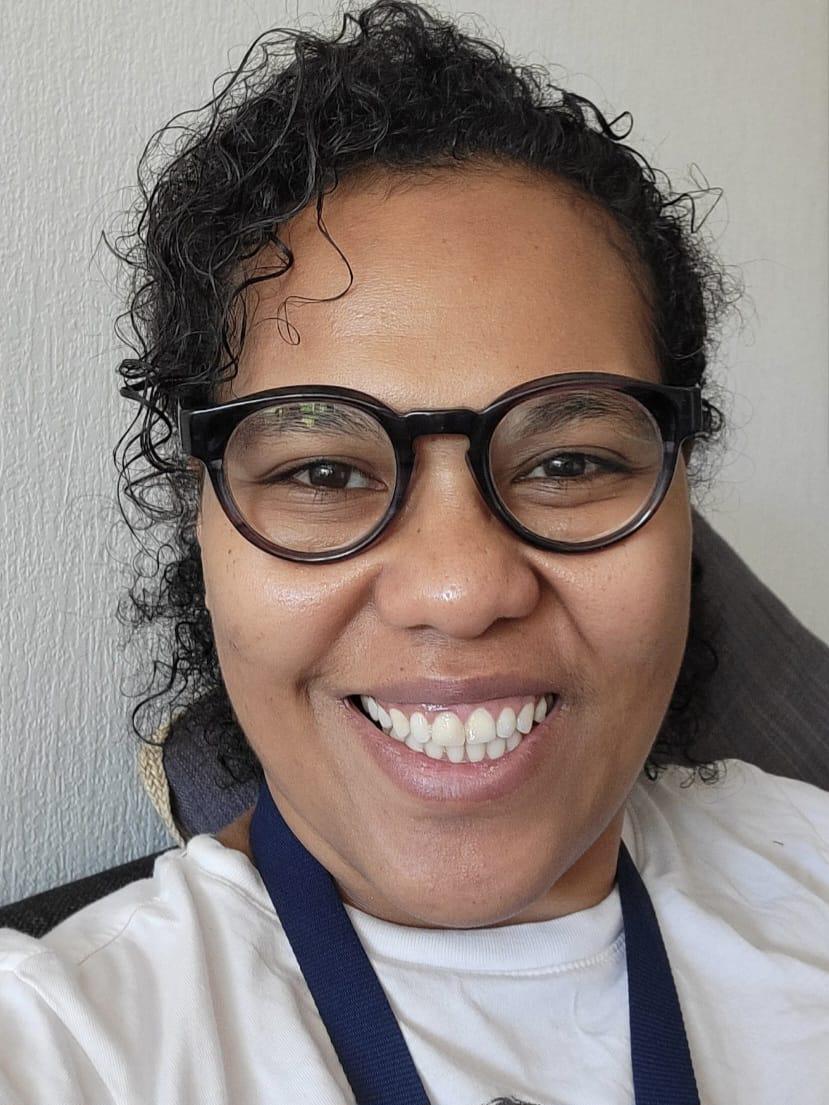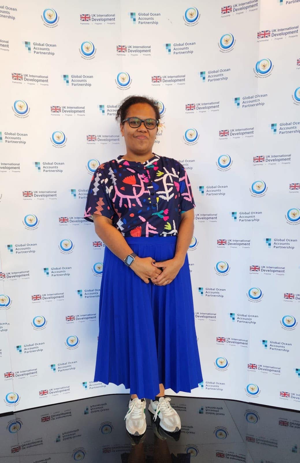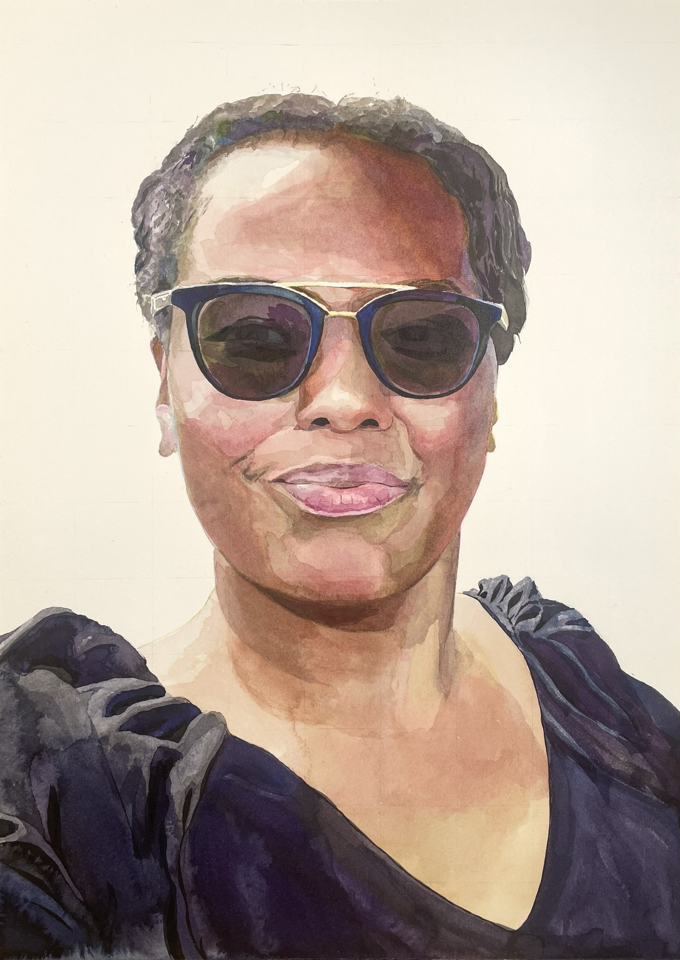
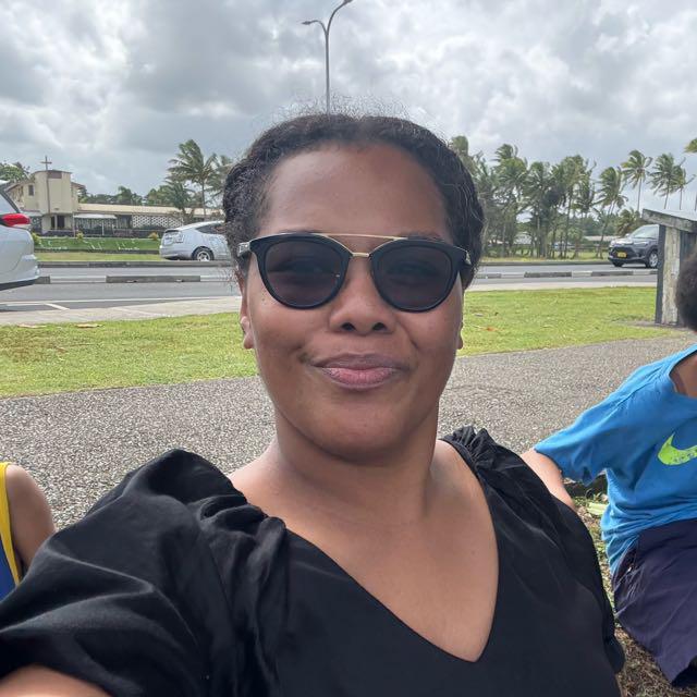
Fiji
The subject for my portrait for Fiji is Litia Gaunavou who uses remote sensing and geographical information systems to advise government and communities about the positive changes they can make to their environment
About Fiji
Fiji is an island country in Melanesia, part of Oceania in the South Pacific Ocean. Fiji consists of an archipelago of more than 330 islands—of which about 110 are permanently inhabited—and more than 500 islets. About 87% of the total population live on the two major islands, Viti Levu and Vanua Levu.
Source: Wikipedia
The main environmental issues facing Fiji are primarily driven by climate change, including rapid sea-level rise, coastal erosion, and increased frequency of severe tropical cyclones.
About Litia
Litia's environmental journey started at a very young age. Growing up she had always been cautious of how rubbish was disposed and disliked littering.
Going through school and then in to higher education Litia studied Marine Science, having the goal, like many of us, of becoming a Marine Biologist. Again, like many of us that didn’t quite work out so Litia ventured into Geographic Information Systems (GIS) & Remote Sensing after graduating
Remote sensing is the process of collecting data about the Earth from a distance, typically using satellites or aircraft to take pictures and measure surface features. Geographic Information Systems (GIS) are computer-based tools that map, analyse, and manage this data, turning raw imagery into actionable insights for decision-making
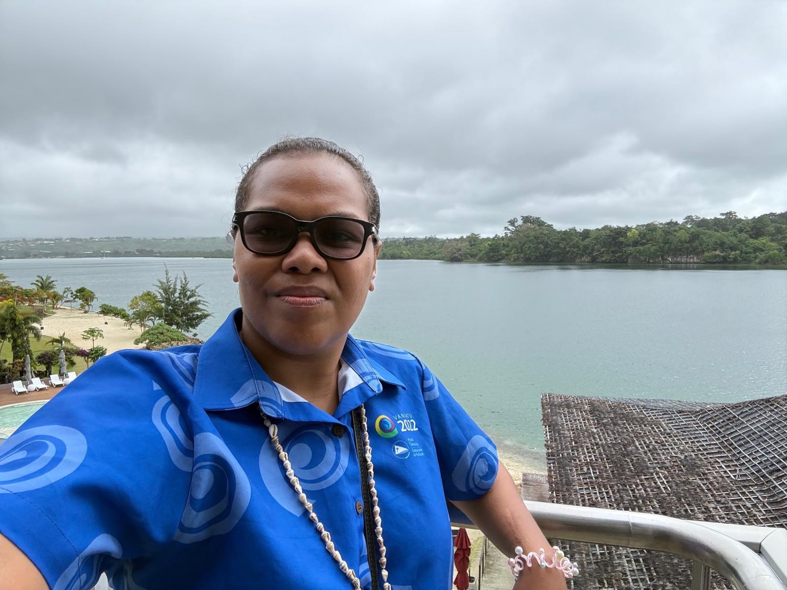
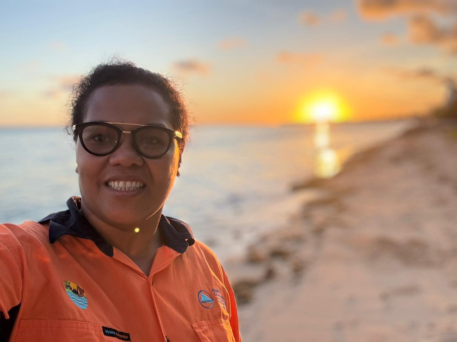
Litia's current title is Geospatial Technical Officer, and she has worked on several thematic areas
Litia worked on a project called "Adaptation to climate change through food security measures "– In this, she mapped out natural food sources such as Breadfruit and Pandanus for low lying islands and was piloted in Tarawa, Kiribati. This was mapped together with the Agriculture and Environment department in case supply of introduced food staples such as rice were interrupted due to extreme events that block out access to remote atolls in Kiribati. This would mean that the nation would rely on what is locally available but not managed and not fully utilized.
Amongst all these and many other projects, one in particular goes closest to Litia's heart. This was establishing the Pacific Geospatial Women Network (PGWN) and its aim is to nurture women to establish their career in this field. Together the network provides training to community-based women groups.
Watch the portrait's story
This video shows the painting process, and tells some of Litia's story.